
RealVrScan
A drone flies over the site, the software rebuilds the ground in 3D, and anyone with a headset can walk inside it. Photorealistic, fast, no photogrammetry skills needed.
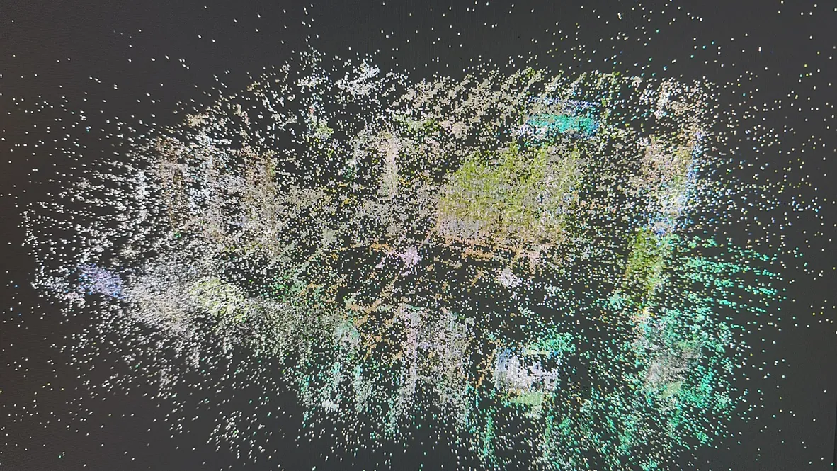
RealVrScan brings photogrammetry, drones and virtual reality together in one complete, portable system: software, drone, computer, headsets and training. The result is not a rendering but a replica of the place, shadow by shadow, that can be explored and measured.
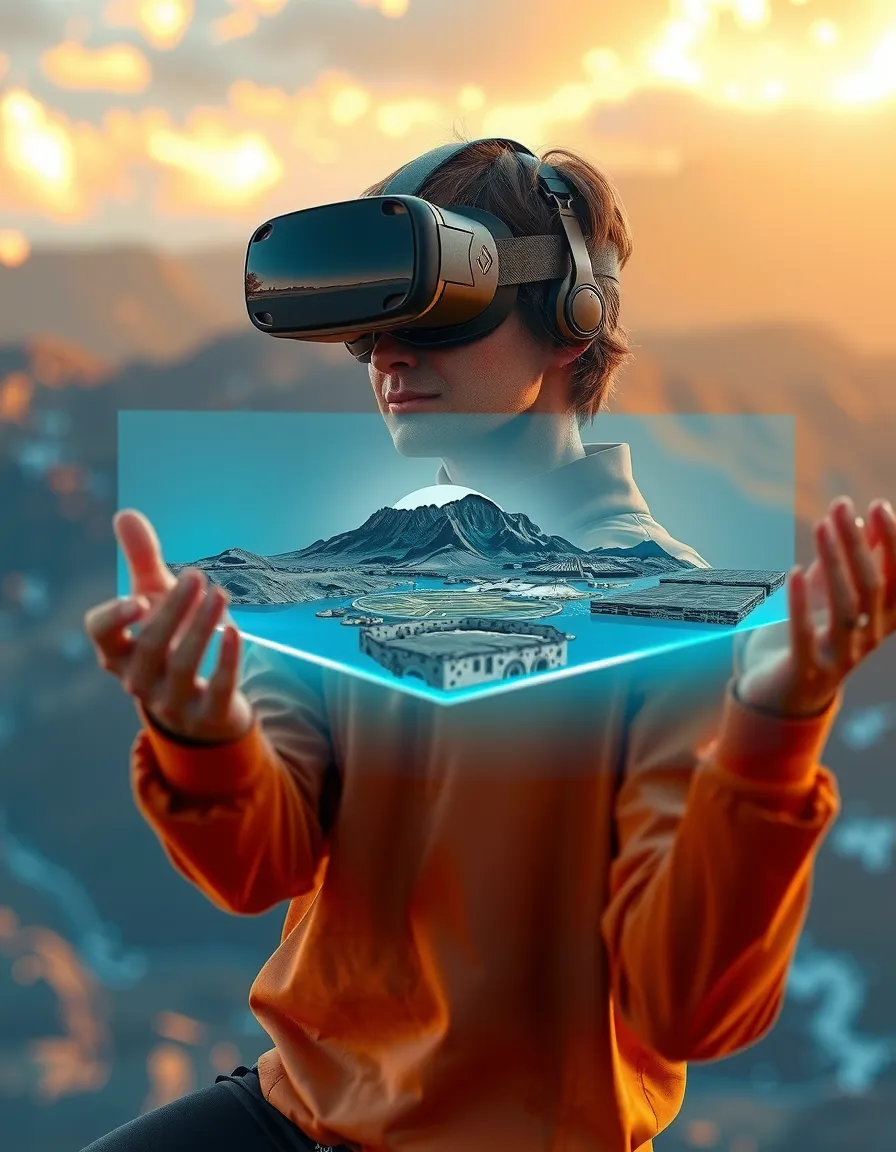
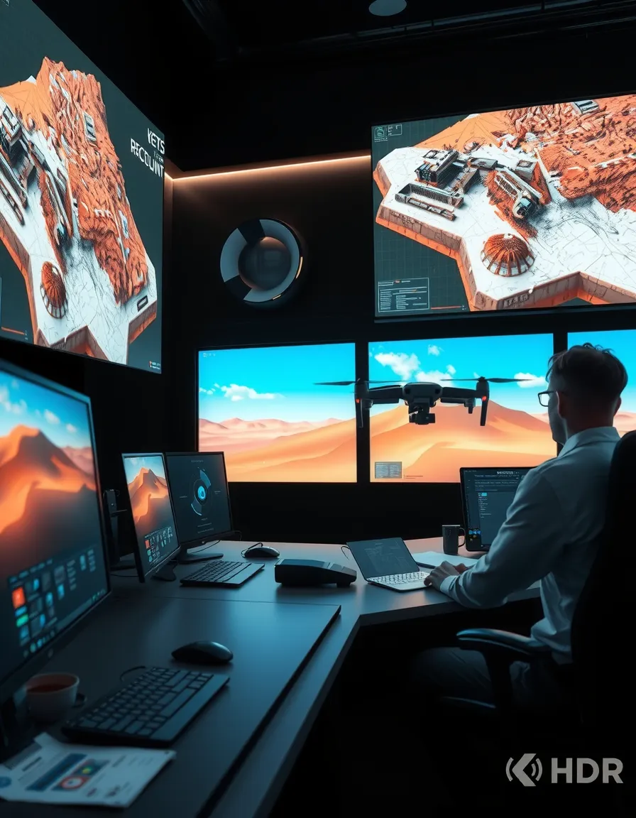
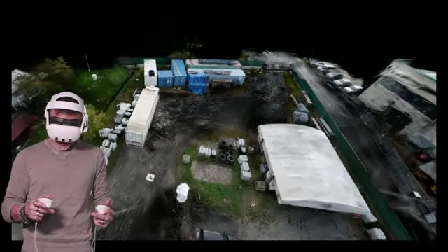
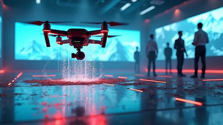
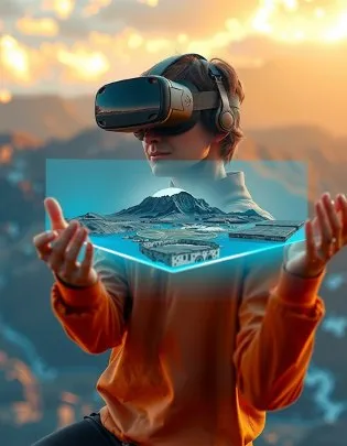
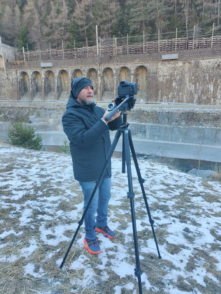
The drone and headset illustrations come from the project presentation; the other images are real surveys and demos.
How it works on a 500 m² site
Drone flight
An autonomous grid flight of about 30 minutes, 150–200 high-resolution images. Even a consumer drone will do.
Details
Extra shots of what matters: a historic building, an excavation, a piece of infrastructure. About 10 minutes each.
Alignment
Images align automatically. About 200 photos take 3–4 hours; time scales with the area.
3D model
The photorealistic model is ready to view as soon as processing ends.
Point cloud
Generated automatically in about 15 minutes, georeferenced.
CAD and orthophoto
DWG files with contour lines and a ground orthophoto in 10–15 minutes.
In the headset
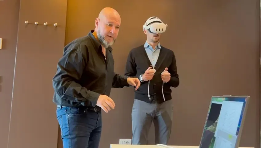
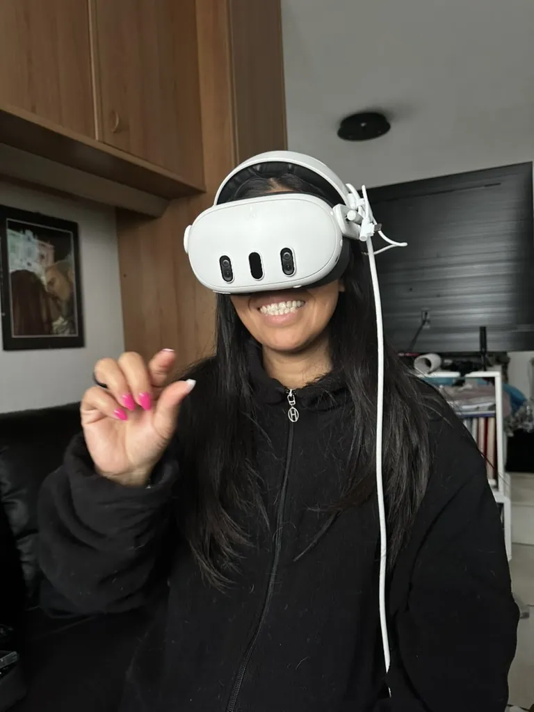
The model moves to the VR headset: walk through the site and look at it from any point.
Where it helps
Emergencies
After an earthquake or a flood, a drone pilot sends photos and video to the control centre and within hours there is a model of the area. Rescuers see passable roads, unsafe buildings and where to set up camp before going in.
Archaeology and heritage
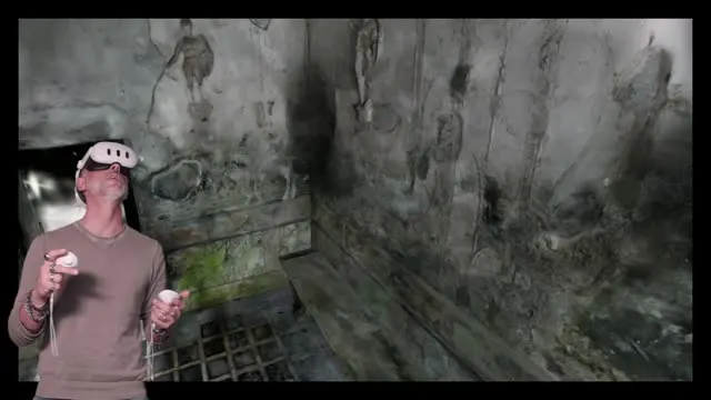
Excavations and monuments documented precisely and rebuilt in 3D. Scholars and visitors explore them as if they were there.
Urban planning and infrastructure
Small urban surveys or large areas: quality does not drop with size, only processing time grows.
Environmental inspection
Slopes, quarries, rivers and building sites monitored over time by comparing successive surveys.
What makes it different
- No photogrammetry skills needed: a guided process from capture to headset
- Photorealistic, cinematic quality
- Short processing times that scale with the area
- Works fully offline: useful where there is no network
- Portable system, configurable for public and private clients
- Staff training included
What you can do
Walk the site
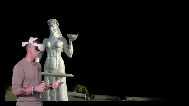
With the headset you move through the model at real scale, several people at once, and look at it from any point.
Measure
Distances, heights, areas and volumes taken straight from the model.
Compare over time
Successive surveys of the same place, overlaid, to see what has changed.
Export
Point cloud, DWG with contour lines, orthophoto and 3D model for CAD and GIS.
Plan
Where to set up a camp, route a vehicle, lay cables and structures, before going on site.
Tell the story
Virtual tours for museums, schools and citizens, in the headset or on the web.
Objects and statues
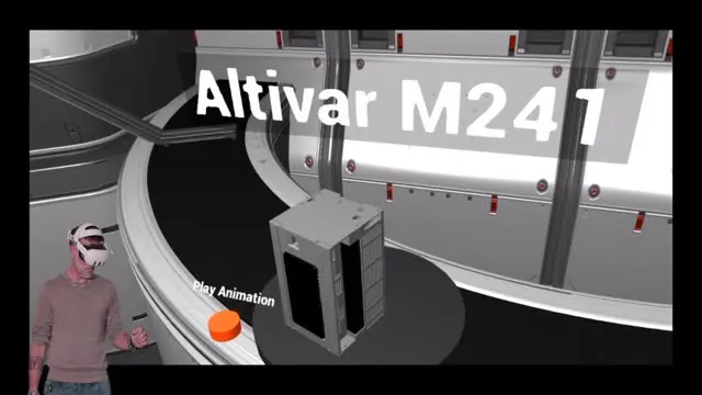
Not just terrain: artefacts, statues and industrial products to explore in VR.
Interiors
Rooms and buildings surveyed and walkable, with their measurements.
Inside the headset
The idea
Bring us the context. The constraints. Even the mess.
Finding the way is our job.
Tell us the problemor write to holographics.it@gmail.com